
MANILA, Philippines — A tropical depression has been spotted outside the Philippine Area of Responsibility (PAR) and may enter the country, the Philippine Atmospheric Geophysical Astronomical Services Administration (Pagasa) said on Sunday.
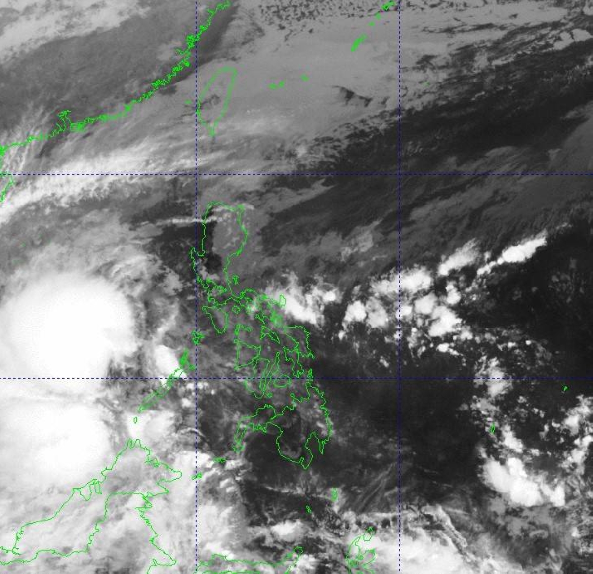
Weather specialist Robert Badrina said that the weather disturbance was estimated some 620 kilometers south of Kalayaan, Palawan.
Moving north-northeast at 20 kilometers per hour (kph), the tropical depression has maximum sustained winds of 55kph near the center and gustiness of up to 70kph, he said.
“We are not discounting the possibility that this tropical cyclone would enter the Philippine Area of Responsibility maybe in 24 to 48 hours,” Badrina said.
Once inside, it would be named Romina, the 18th storm to hit the country this year.
In its 5 a.m. bulletin, the state-run weather bureau said the trough of the tropical depression has been affecting some areas in Mindanao, including the Zamboanga Peninsula, Basilan, Sulu and Tawi-tawi and Palawan in Luzon.
The convergence of hot and cold air or shear line, meanwhile, is bringing overcast skies with scattered rain showers and thunderstorms over Visayas, Bicol Region, Calabarzon (Cavite, Laguna, Rizal and Quezon), Oriental Mindoro, Occidental Mindoro, Marinduque, Romblon, and Dinagat Islands.
The northeast monsoon or “amihan,” on one hand, would be experienced over Metro Manila and other Luzon areas where cloudy skies with rains would be likely particularly within the next 24 hours, the national weather agency said.