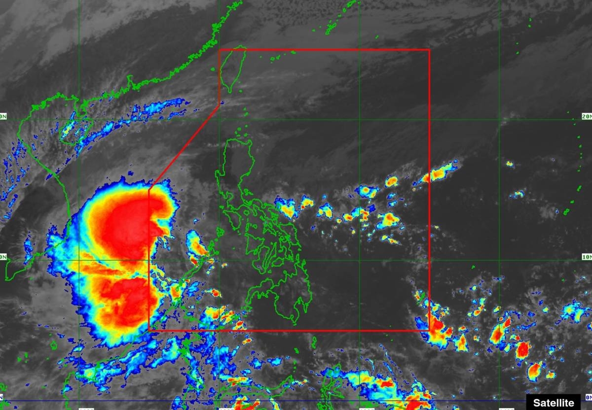
MANILA, Philippines — Signal No. 1 has been raised over Kalayaan Island even before the tropical depression that was forecast early Sunday threatens to enter the Philippine Area of Responsibility (PAR), the state-run weather agency said on Sunday.
Weather specialist Robert Badrina of the Philippine Atmospheric Geophysical and Astronomical Services (Pagasa) said the tropical cyclone, named “Romina,” is the 18th storm to hit the country this year and second this month.
He said the center of the eye of Romina was estimated some 365 kilometers south of Pag-asa Island, Kalayaan, Palawan (outside PAR).
Moving north-northeastward at 30 kilometers per hour (kph), the tropical cyclone has maximum sustained winds of 55kph near the center and gustiness of up to 70kph.
Based on its forecast track, Pagasa said Romina may pass near the southern portion of the Kalayaan Islands area in the next 24 hours.
It must be noted that a brief entry within PAR is not ruled out, its 11a.m. bulletin said.
Also, it may briefly reach tropical storm category within the next 12 hours before weakening into a tropical depression for the rest of the forecast period, the national weather bureau said.

