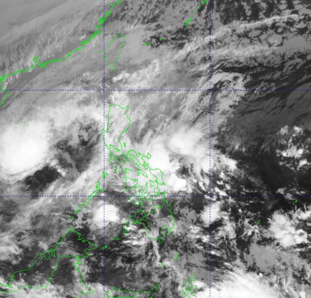
MANILA, Philippines — Tropical Depression “Romina” is no longer directly affecting Kalayaan Islands but there is still a chance for its intensification into a tropical storm within the next 12 hours, the state weather bureau said on Monday.
Weather specialist Robert Badrina of the Philippine Atmospheric Geophysical and Astronomical Services Administration (Pagasa) reiterated that Kalayaan was no longer within the radius of the tropical cyclone.
“That is why we already have lifted the storm signal in these areas,” according to the Pagasa forecaster.
Although the tropical depression has remained outside the Philippine Area of Responsibility (PAR), the national weather bureau gave it the name (Romina) after it directly affected Balabac town in Palawan and Kalayaan Islands, Pagasa chief Nathaniel Servando said.
Estimated some 165 kilometers west of Pagasa Island, Kalayaan, also in the same province, Romina was moving northwestward at 10 kilometers per hour (kph) with maximum sustained winds of 55kph and gustiness of up to 70kph, it said in its 5 a.m. bulletin.
“It is expected to continue moving away from Kalayaan Islands while heading towards the eastern coast of Vietnam,” Badrina said.
After turning into a tropical storm over the next few hours, Romina will weaken into a tropical depression Monday night or early Tuesday morning, he added.
Meanwhile, the Visayas, Bicol Region, Calabarzon (Cavite, Laguna, Batangas, Rizal and Quezon), and the rest of Mimaropa (Mindoro, Marinduque, Romblon and Palawan) will be experiencing scattered rains and thunderstorms due to the convergence of hot and cold air called shear line.
The northeast monsoon or “amihan,” on one hand, has been affecting Metro Manila and other Luzon areas where partly cloudy to overcast skies with isolated light rains would prevail while Mindanao is affected by the localized thunderstorms, the state-run weather agency said.

