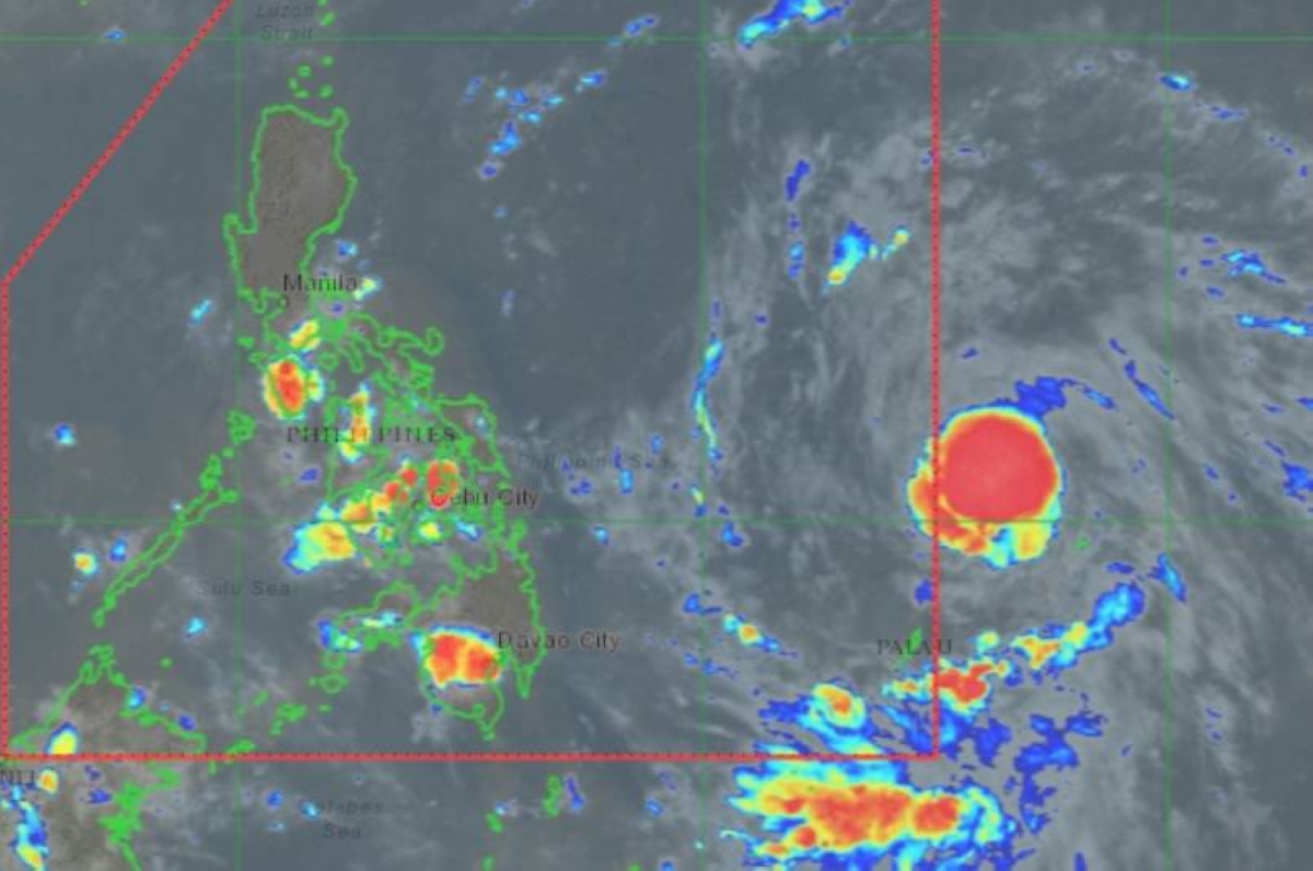
MANILA, Philippines —The low-pressure area (LPA) outside the Philippine Area of Responsibility (PAR) has developed into a tropical depression, according to the 5 p.m. bulletin Sunday of the Philippine Atmospheric, Geophysical and Astronomical Services Administration (Pagasa).
As of 4 p.m. the center of the tropical depression was estimated based on all available data at 1,315 kilometers east of Eastern Visayas.
Once inside PAR, probably by Monday, it will be named Marce.
The tropical depression will steadily move northwestward at a fast pace and northwestward until Tuesday, before it begins to slow down significantly while turning more northward.
From Wednesday until the end of the forecast period, the tropical cyclone will move northward, then westward at a slow pace over the east of extreme Northern Luzon.
This portion of the forecast has a high uncertainty due to two possible scenarios — either the tropical cyclone will move more westward towards extreme Northern Luzon or mainland Luzon; or move erratically over the Philippine Sea east of extreme Northern Luzon.
The trough of the tropical cyclone will bring rains over extreme Northern Luzon and the eastern section of Luzon beginning Monday or on Tuesday.
Should the forecast track of the tropical cyclone change to a more landfalling scenario, heavy to torrential rainfall caused directly by the tropical cyclone may begin affecting Northern Luzon on Thursday or Friday, according to Pagasa.
For the entire October, the Philippines, especially Luzon, was left in shambles by Super Typhoon Julian, Severe Tropical Storm Kristine and Super Typhoon Leon.

