
MANILA, Philippines — The state-run weather agency predicted on Friday about the low pressure area (LPA) which may redevelop into a tropical depression once it reaches the West Philippine Sea.
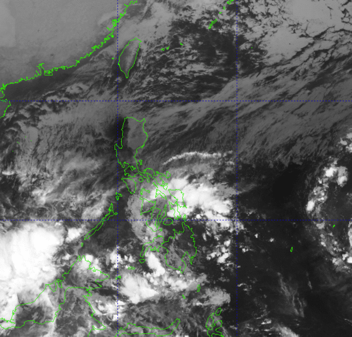
Currently, the weather disturbance, which was named “Querubin” as a tropical depression, is estimated over the coastal waters of Mahinog, Camiguin and has been affecting the Visayas, Mindanao and Palawan where overcast skies with scattered rains and thunderstorms would prevail, weather specialist Robert Badrina said.
In its 5 a.m. advisory, the Philippine Atmospheric Geophysical and Astronomical Services Administration (Pagasa) said the convergence of hot and cold air or shear line is also bringing similar weather patterns over Bicol Region, Quezon and the rest of Mimaropa (Mindoro, Marinduque, Romblon and Palawan).
On one hand, the northeast monsoon or “amihan” would be bringing partly cloudy to cloudy skies with isolated light rains over Metro Manila and the rest of Luzon, the Pagasa forecaster said.
Citing data and analysis, Badrina said they have not monitored a new tropical cyclone or LPA forming inside or outside the Philippine Area of Responsibility at least until weekend.